17 sep 2025
Trip report: Devil's Dome loop, day 4
The car really is the best view
We awoke on the last day well-rested and ready to leave the wilderness. Our fourth day primarily consisted of two parts: leaving Devil’s Park and descending back down to the East Bank Trail. After some quick coffee and oatmeal, we packed up our camp and set out to complete part one.
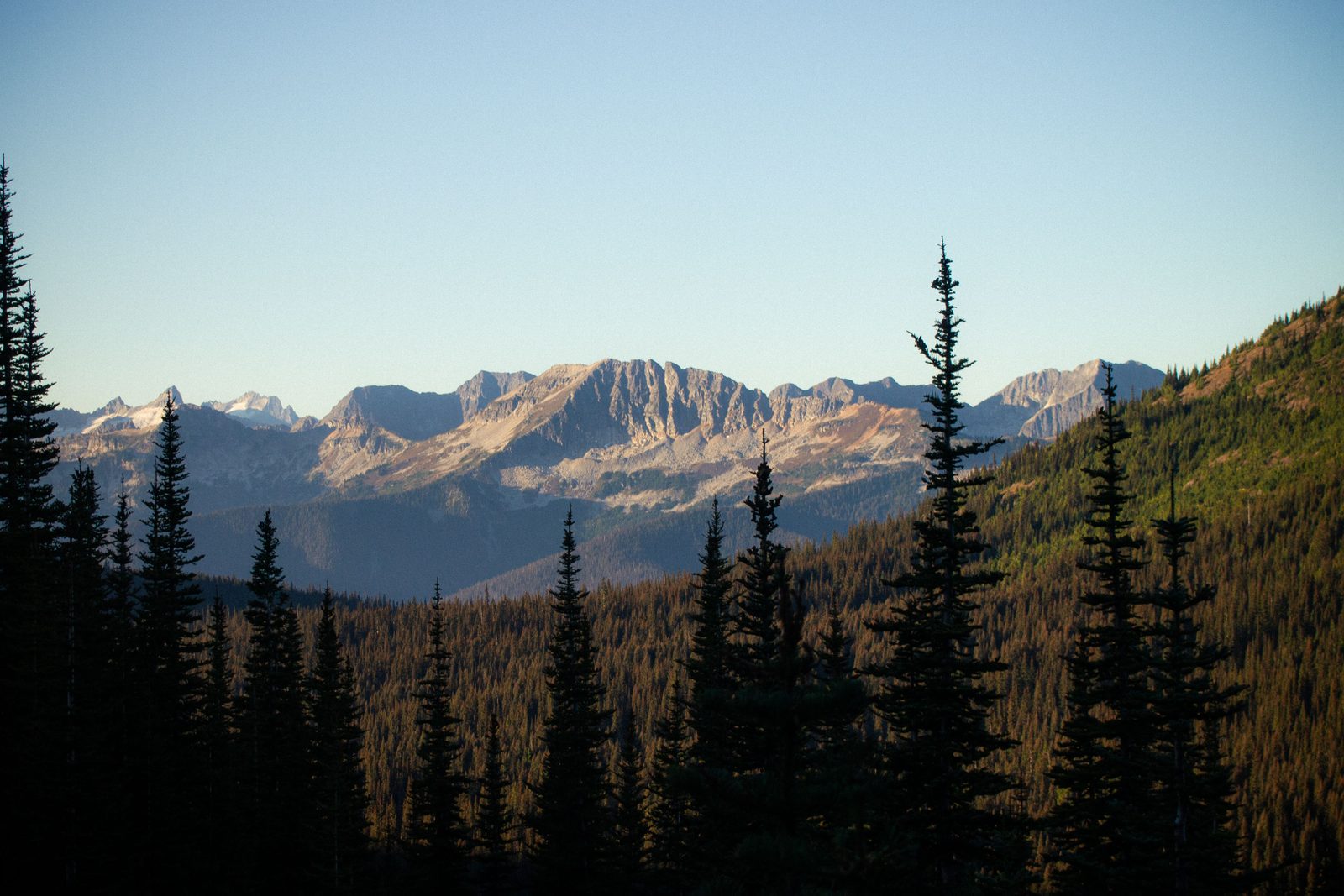
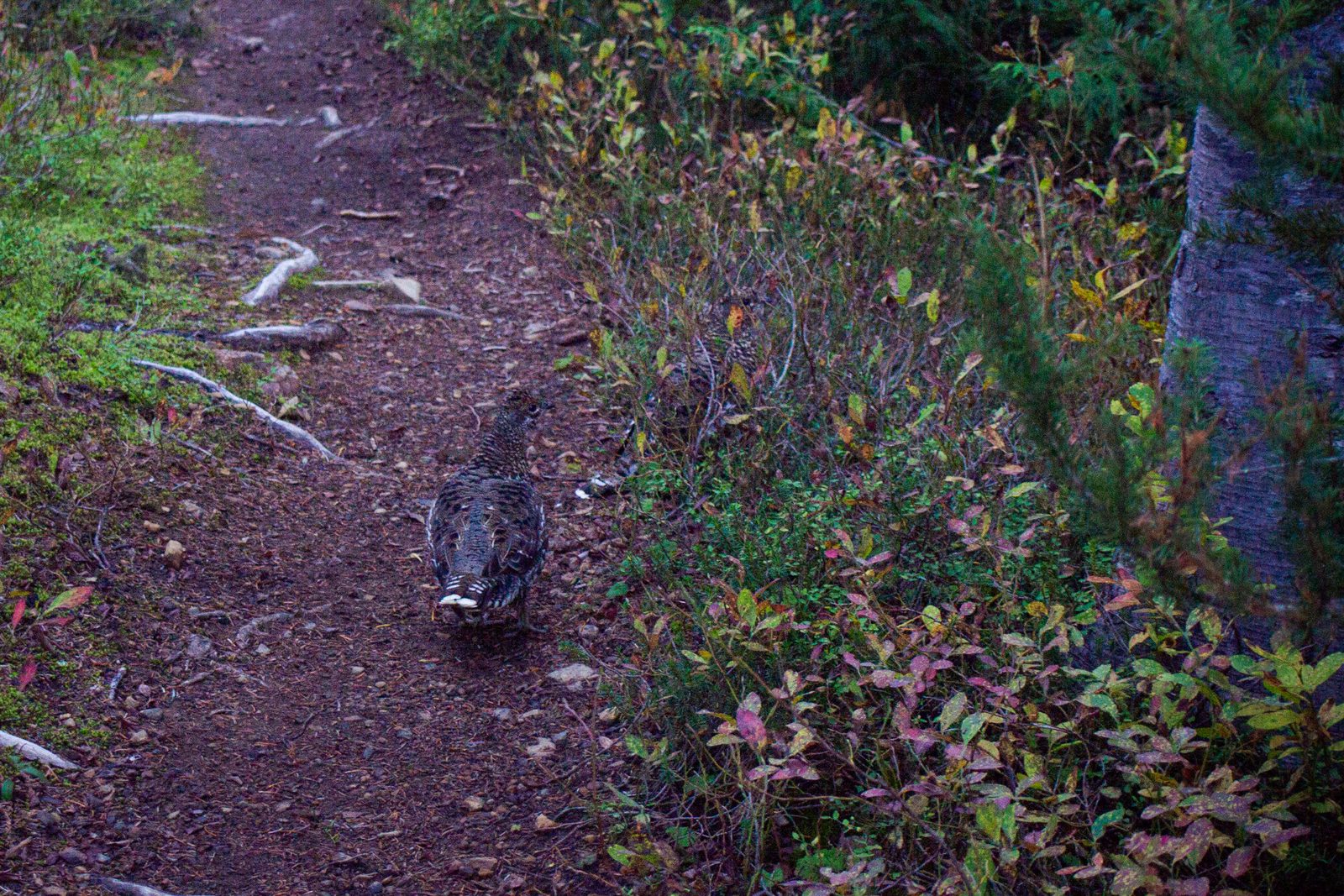
We had read somewhere on AllTrails that the descent would include an incredible amount of switchbacks, so we hiked and kept our eyes peeled for the starting point. The route started out by winding through the forest, occasionally traversing rolling hills and breaking into small clearings. Under the canopy, the light was slow to break onto the trail, and we ran into some grouse or pheasant-looking birds in the protected shade.
Soon, the first switchback arrived. After a couple more, it became clear that we had begun the long descent. If there was anywhere for the trail planners to put in switchbacks, it was definitely here (and perhaps also the scree wall)—this was a long and steep cliff in the forest, and in total we encountered just about 60 switchbacks! Descending this wall was another part of the trail that reassured me of our choice to do it clockwise, because climbing up a never-ending wall of switchbacks would have thoroughly tired me out on the first day.
Like the previous day, these switchbacks were complicated by many large blowdowns at different points. Unlike the previous day, the trail on this segment leaves the Pasayten Wilderness at some point and winds back into the national park. After a while, we began to see some freshly cut logs surrounding the trail, and finally we ran into the park staff grinding their way through these immense logs parked on the trail. After that, it was pretty much smooth sailing in terms of blowdowns.
Of course, nothing is ever smooth sailing on trips like this! Another thing we had read about in almost every single AllTrails review was the famed Canyon Creek Blowdown—a legendary blowdown that has been too large for maintenance to take care of and thus has become trail landmark for at least a few years now. This was one of those things where one’s imagination is typically not expansive enough to prepare for what is to come. When we finally arrived at the tree, it was truly enormous. The tree is at least my height in diameter, and it had fallen from above the trail and extended all the way down to the river below. Morever, in doing so it had taken out several other neighboring trees and also a large part of the trail, leaving no flat surface anywhere to form a social trail.
We thought for a bit what the best way to circumnavigate this final obstacle would be, but ultimately we decided that the only way was to climb up to the base of the trunk and climb back down. This was nontrivial for several reasons. First, it was quite steep. We would have to convert from walking to climbing and scrambling for a bit, and there was no place to put our packs down so it would all have to be done with the backpack on our backs. Second, the slope was more like a loose mixture of dirt, roots and rocks. While some of it was stable, freeing any rock or tree root could cause the area of dirt around it to give away. Finally, descending had to be done extremely carefully—any misstep from the person above could cause a mini rockfall that could seriously hurt the person below.
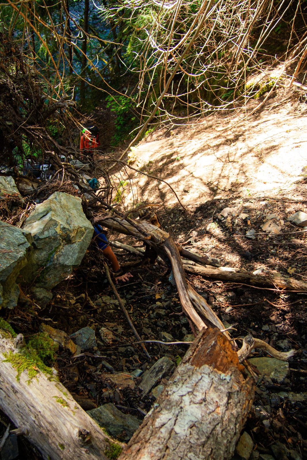
Chris went up the blowdown first, and I carefully navigated in his foosteps. I calculated every single step and handhold of the climb and it took probably close to ten minutes to get up about ten feet. I also had my camera swinging loosely around my neck, so to free up both hands I held it up with my teeth. Then, Chris started the harrowing descent back down to the trail. It was an extremely carefully choreographed process, with multiple warning calls for which rocks were stable and which ones were wiggling. At some point, I tested out one of the holds I thought was secure as he was descending and to my horror sent a few rocks falling down. Luckily, Chris managed to dodge them in time and I quickly returned to my place back by the trunk.
Once he had reached the trail again, I started my turn down. While nothing ever slipped and the ground never caved, it was an extremely slow and tense ordeal. I was dripping in sweat by the time I got halfway down. In total, this fallen tree probably took us at least 30 minutes to deal with from start to finish.
A little ways after the Canyon Creek blowdown, we saw some hikers walking through the river beneath us. I think this may be the solution for those going in the counter-clockwise direction who have a bit more foresight on the situation (and who start out closer to the riverbank elevation). Going through the river and climbing back up to the trail could be a better solution, but I’m not entirely sure that there was an easy path for us to make our way down to the river at any point before the blowdown either.
After navigating cold and wet nights, many steep climbs, overgrown branches whacking me in the face and finally this monstrous obstacle, I trudged through the last few miles of the trail with some grumpiness and impatience. As a result, these miles passed by rather slowly. When we finally, finally got back to the trailhead, I saw our rental car parked by itself in the lot and felt a huge wave of relief rushing over me… the car really is the best view.
Overall, this was a great trip with a lot of great scenery and sweeping views. Would I do it again? Definitely not.
Would I recommend it? Maybe, but I would be prepared for both incredible views and less-than-ideal trail conditions.
It’s a bit of a shame that the regions outside of the park are not as well-maintained, but it seems like quite a tough project
to get to those parts. For those looking to do this loop in the future, I’d say: (1) do it clockwise, (2) bring some
treats to reward yourself at camp each day, and (3) enjoy Devil’s Dome!
Total mileage: 10.27 mi
Elevation gain: 955 ft